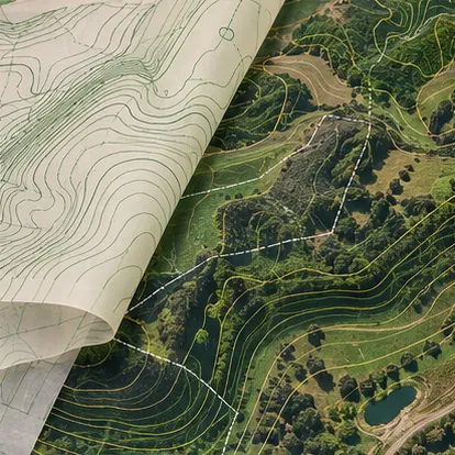
QGIS & mapping
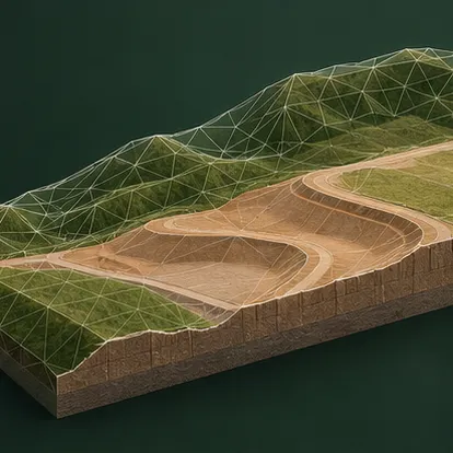
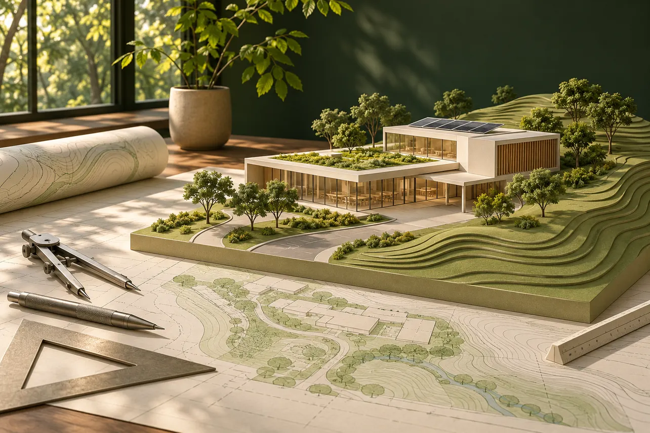
Georeferencing, satellite digitizing, contours, slope and elevation, watershed and drainage mapping, spatial measurements and map layouts.
- Delivery
- QGIS project, GeoPackage, Shapefile, KML/KMZ, GeoPDF/PDF or PNG as agreed.
Digitizing & map layout · $40–120
View a map example